
Observing the Iberian Blackout from Orbit: A Milestone in Emergency Assessment
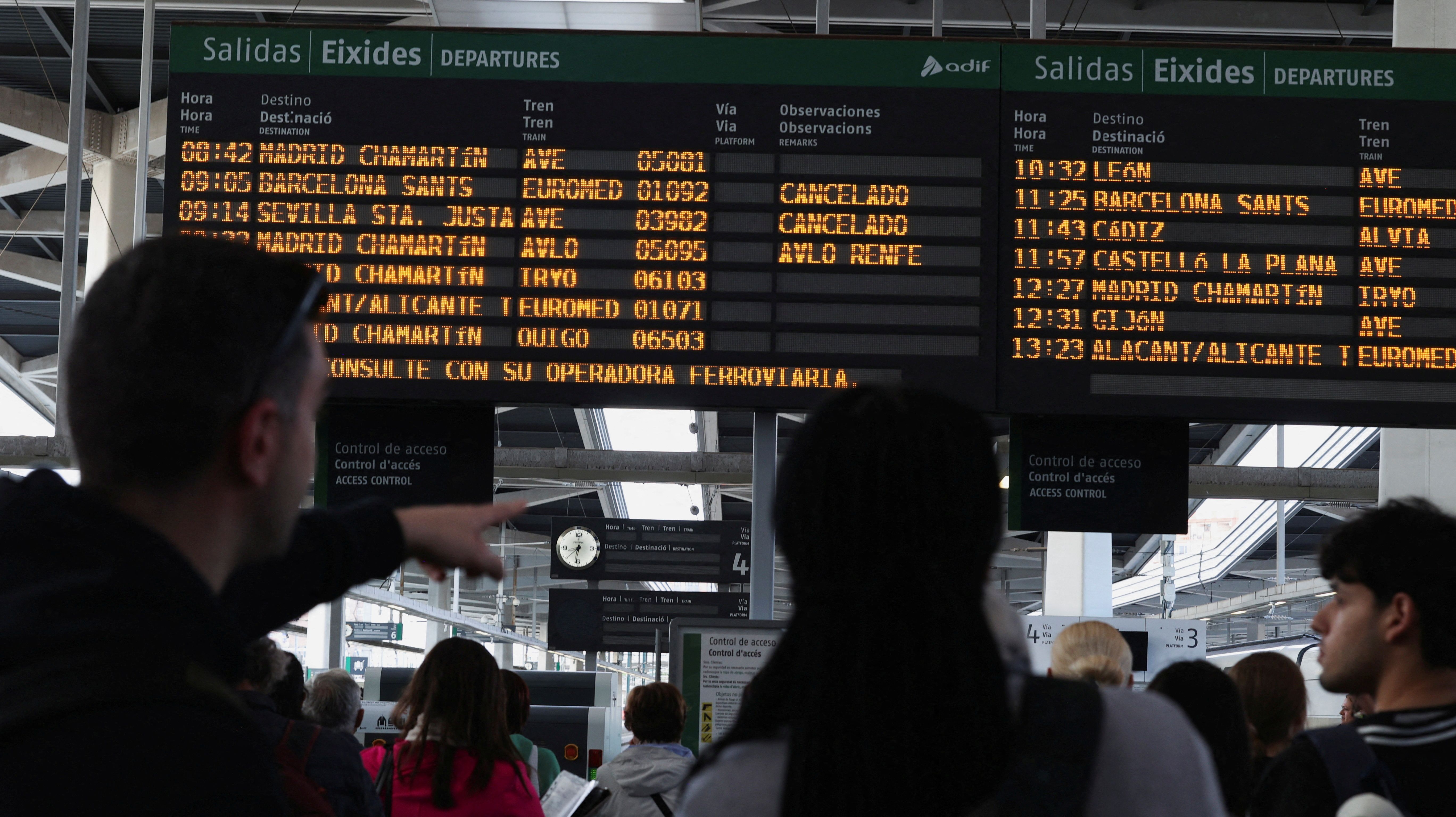
On April 28, 2024, a massive power failure cast large portions of Spain and Portugal into darkness. As millions on the ground worked to cope with the aftermath, a range of space-based monitoring systems quietly recorded the incident from above — delivering an unmatched perspective on the extent of the blackout and the pace of recovery. This incident not only challenged the electrical framework of the Iberian Peninsula but also highlighted the essential function satellites now fulfill in disaster management.
The Night Darkness Fell: Monitoring from the Sky
Under a clear night sky, three NASA polar-orbiting satellites — Suomi-NPP, NOAA-20, and NOAA-21 — orbited the Earth, capturing a distinctive and detailed sequence of images that illustrated the evolution of the blackout in real time. These satellites, which travel from pole to pole, executed six passes over the Iberian Peninsula throughout the night, providing visual data points that collectively formed an hour-by-hour timeline of the situation.
This innovative method of data collection was further refined by NASA’s nighttime light detection algorithms, which improve visibility of city lights and monitor fluctuations in artificial illumination. The extensive darkness enveloping major urban areas created stark contrasts in the satellite imagery, allowing scientists to identify the specific locations impacted.
“By layering the six satellite passes and utilizing NASA’s nighttime algorithms, we can observe large green areas that suddenly appear and then slowly disappear,” stated Alejandro Sánchez de Miguel, a researcher at the Instituto de Astrofísica de Andalucía (IAA-CSIC) and head of several ESA-supported projects aimed at monitoring light pollution.
Assaying Recovery Trends
The visuals not only showcased the blackout but also highlighted the gradual return of light — an indicator of infrastructure restoration and power resumption. While the initial hours displayed widespread darkness, subsequent passes revealed systematic recovery starting from urban centers and electrical utility nodes, spreading out to suburban and rural areas.
“The green spots signify regions devoid of light, while the white spots indicate places with a consistent electricity supply,” Sánchez de Miguel observed. “This pattern aligns with reports from electrical companies and the slow return to normal conditions.”
Indeed, this independent verification of official recovery timelines is crucial for substantiating ground-level reports, enhancing trust in data sources during crises, and aiding coordinated recovery efforts by utility firms, emergency management agencies, and local authorities.
Transformative Space Technology in Emergency Management
The contribution of space-based data extended beyond mere observation. It also provided insights that can actively assist emergency responders and recovery teams:
- Real-time surveillance of power disruptions and outages
- Independent validation of statements from electrical providers
- Visual identification of areas urgently needing repairs or assistance
- Comprehensive mapping of recovery efforts over time and geography
- Scientific assessment of electrical resilience and urban vulnerabilities
This amalgamation of functionalities positions satellite data as a crucial asset not only for documenting emergencies but also for effectively supporting coordinated disaster responses.
Turning Crisis into Scientific Insight
While the blackout caused significant disruption, it provided researchers with an excellent opportunity for various scientific investigations — particularly regarding light pollution and ecological cycles. Typically, city lights obscure the natural day-night rhythm, impacting both humans and wildlife. However, this unforeseen interruption in illumination during the blackout served as an unintentional experiment.
The European Space Agency (ESA), committed to planetary sustainability and environmental observation, views such occurrences as essential for calibrating instruments and understanding the effects of artificial light on living organisms. Initiatives like Cities at Night and Night Watch explore nighttime emissions through satellite data and photos taken by astronauts, using situations like the Iberian blackout to establish baseline metrics for light-neutral scenarios.
From terrestrial ecosystems to observations by astronauts on the International Space Station, the shadowed Iberian landscape provided a brief yet invaluable insight into an Earth less influenced by human lighting.
Advancing from Observation to Prediction
With the advancement of satellite technologies, monitoring is progressing towards prediction. Data from the blackout on April 28 will inform the refinement of future space missions and modeling tools focused on the vitality of electrical infrastructures. The ESA’s rich archives — including datasets from Rosetta and OSIRIS — are already being utilized to feed machine learning models and radiometric simulations to foresee similar infrastructure challenges before they arise.
Looking ahead