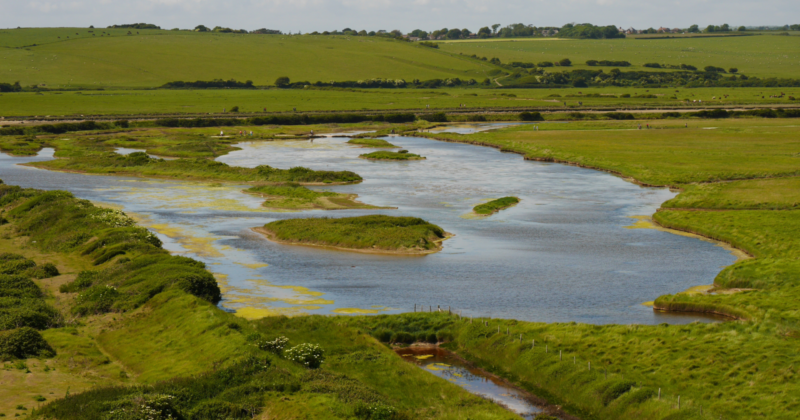
On the Dengie Peninsula in Essex, where the River Crouch merges with the River Roach before meeting the North Sea, a once wheat-producing agricultural area has been transformed into tidal marsh, mudflat, and shallow lagoon. The metamorphosis of Wallasea Island into a 900-hectare nature reserve overseen by the Royal Society for the Protection of Birds (RSPB) was intentional and not achieved with expected materials. This conversion involved approximately 3 million tonnes of London clay excavated over 50 miles away during the development of what is now the Elizabeth line.
A tunnel-boring challenge becomes a habitat solution
The construction of the Crossrail project’s dual rail tunnels beneath central London — currently running as the Elizabeth line — necessitated the removal of substantial amounts of earth as tunnel-boring machines cut through London clay, sand, and chalk under the city. Large-scale infrastructure initiatives of this magnitude create a logistical challenge before producing a railway: millions of tonnes of spoil require disposal.
According to the Crossrail Learning Legacy archive, engineers and the RSPB entered into an agreement in 2008 to transport excavated materials to Wallasea Island, where the charity was already aiming to convert unproductive arable land back into intertidal habitat. The initial proposition included the use of up to 4.6 million tonnes of material, but due to ground conditions — with some of the excavated clay containing excessive moisture unsuitable for safe handling and shipping — the actual volume delivered was slightly over 3 million tonnes. This figure is supported by the Institution of Civil Engineers (ICE) and ITV News, which reported that the share destined for Wallasea was 3 million tonnes out of over 6 million tonnes excavated throughout the Crossrail project.
Transporting that quantity necessitated new rail-fed transfer stations in Kent and east London — including one at Northfleet on the Thames — where materials were consolidated before being loaded onto 90-metre, around 2,500-tonne coasters for the journey along the Kent and Essex coastlines to a specially constructed jetty at Wallasea Island itself, finished in August 2012, where a conveyor system facilitated unloading the clay. The ICE’s project documentation indicates that the entire operation involved 1,500 return trips; a separate report from the American Society of Civil Engineers (ASCE) records the number as 1,528 shipments traversing approximately 120 kilometres of coastal waters each round trip. Deliveries occurred from August 2012 to April 2015, as noted in Crossrail’s own records, achieving unloading capacities of up to 10,000 tonnes within a 24-hour timeframe during peak operations.
The purpose of the clay
The material was not merely dumped. Engineers employed it to elevate the low-lying former farmland by about a metre, allowing it to be reconnected to tidal flows without being permanently submerged, while also constructing new perimeter embankments, low islands, and shallow-sloped “scrapes” intended to replicate natural saltmarsh and mudflat formations. The ICE describes the first completed section, Jubilee Marsh, as inundating 115 hectares of former wheat land once the old sea wall was breached in July 2015 — reinstating tidal flooding to territory that had been drained for agricultural use since the 1950s and was, according to the RSPB, increasingly challenging to farm as sea levels rose and flood risks intensified.
Subsequent phases implemented the same method across additional management units. The ASCE’s account of the engineering divides the project into five completed cells from 2015 to 2018, collectively accounting for around 700 hectares of altered land. By 2020, the UK government’s own coverage of a ministerial visit referred to the reserve as encompassing 900 hectares and labeled it the largest coastal habitat restoration endeavor of its kind in Europe — a figure that predates the RSPB’s 2025 expansion, which incorporated an additional 100 hectares of adjacent farmland funded by the Ida Davis Family Foundation, increasing the reserve’s total further. This assessment of the 2020 ministerial visit remains the most definitive independent verification of that “largest of its kind” assertion.
Particularly, the Jubilee Marsh phase is often described, including by the ICE, as featuring seven newly constructed islands within its lagoons and channels — low, predator-resistant nesting platforms crafted from the same imported clay, rather than separate land formations within Wallasea itself. Other technical descriptions of the site refer more broadly to “a series of islands and lagoons” without providing an exact count, so the seven-island statistic is best interpreted as detailing constructed nesting structures within one segment of the reserve — not a prominent structural attribute of the island overall.
An engineered retreat from the sea, not a flood
The fate of the 115 hectares of former wheat field was not destruction, despite the potential implications of “flooding farmland.”