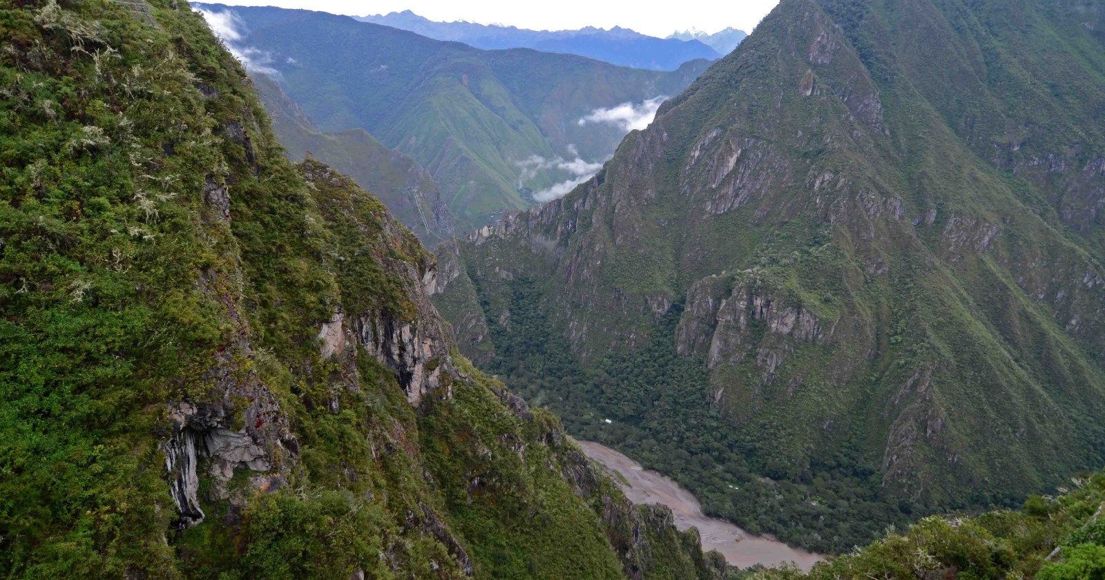
Machu Picchu is frequently viewed as a unique archaeological wonder, yet it is, in fact, part of a larger network comprising over 60 archaeological sites within its national park, as stated by Mariusz Ziółkowski from the Centre for Andean Studies at the University of Warsaw. Historically, investigations have largely centered on locations situated on the left bank of the Urubamba River, where Incan urban planning was thought to be primarily established. Nevertheless, recent findings on the opposite bank dispute this idea.
A new disclosure from the Dirección Desconcentrada de Cultura de Cusco revealed the discovery of more than 2.5 kilometers of pre-Hispanic roads on the right bank of the Urubamba, detected by a drone-mounted laser scanner. The scanning, carried out in July 2026, uncovered roads, potential platforms, and terraces close to the Mandor wall, with one prominent road measuring approximately 1.2 kilometers arranged in a zigzag configuration. While the characteristics of the main road imply alignment with Inca construction methods, no specific chronology or excavation has been verified yet; additional archaeological efforts are required to determine these particulars.
Parties involved, including the University of Warsaw, are taking precautions regarding the exact sites of these discoveries to avert possible damage from treasure seekers. The focus ahead will transition to completing the remote sensing survey and starting excavations to find datable artifacts. This cooperative initiative between Peruvian authorities and the University of Warsaw, which has been a part of a long-standing collaboration since 2008, aims to delve deeper into the historical importance of the findings and may redefine the understanding of urban planning in the Machu Picchu area.