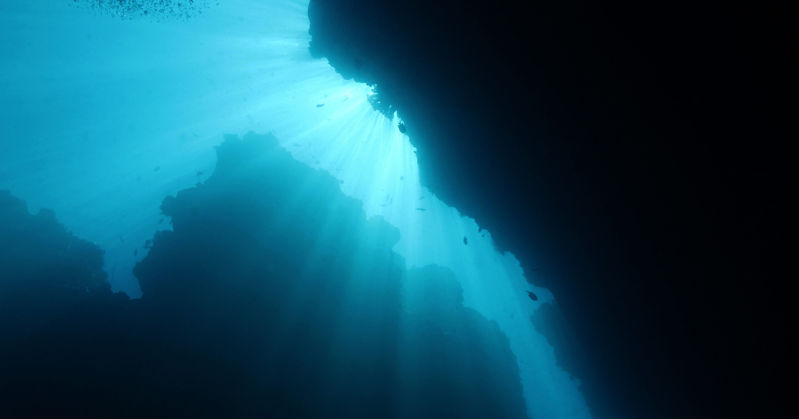
Two kilometres beneath the Pacific Ocean, offshore from Oregon, is a depression in the ocean floor capable of engulfing a thirty-storey edifice. This depression was not created by an impact or subsidence, but rather by a reservoir of molten rock that drained from beneath its hardened surface roughly twelve centuries ago, resulting in the ceiling collapsing.
This cavity constitutes just a portion of a more extensive formation that scientists at the Monterey Bay Aquarium Research Institute (MBARI) have diligently explored for more than twenty years through robotic technology. Their latest results, published in Geochemistry, Geophysics, Geosystems, reveal the layout of three extensive lava flow fields adjacent to an active volcano and elaborate on their development process.
**What the Robots Were Executing Down There**
Axial Seamount, positioned on the Juan de Fuca Ridge, is a 500-kilometre-long volcanic mountain range located in the northeastern Pacific, off the shores of Oregon and Washington. It is the most active submarine volcano in the region, having erupted three times in the last thirty years—in 1998, 2011, and 2015—making it one of the most thoroughly observed underwater volcanoes.
Mapping this formation necessitates a dual-vehicle approach. MBARI’s Seafloor Mapping Lab and Submarine Volcanism Team launch autonomous underwater vehicles (AUVs) along predetermined paths near the seabed, employing sonar technology to generate high-resolution maps. Subsequently, remotely operated vehicles (ROVs) explore intriguing areas, utilizing manipulator arms to gather lava and sediment samples for analysis.
The data retrieved is astonishing. Three flow fields encompass regions ranging from 65 to 100 square kilometres, with some sections attaining thicknesses of up to 130 metres. They comprise a collection of lava ponds with no known comparison on the ocean floor or on land.
**Lava that Develops from Within**
Imagine drizzling syrup onto a cold surface; it spreads and hardens at the edges before coming to a halt. Submarine lava operates in a similar fashion, with seawater instantaneously cooling its edges into a solid shell while keeping the core molten and continually flowing. Once the flow front ceases its progression, the trapped liquid has no alternative but to rise vertically, causing the flow to expand like an inflating air mattress. Researchers at MBARI refer to this phenomenon as inflation.
Eventually, the pressure breaks through the solid top, permitting molten rock to overflow and create new lobes that subsequently inflate. Regions where the ceiling could not bear the load resulted in pit formations, while breaks in pond walls led to drained basins with floors significantly lower than their edges.
The magma traveled swiftly and directly, moving from the reservoir beneath the summit through dikes, which are vertical fissures that act as conduits for fast transport of substantial quantities.
**The Collapse That Might Have Followed**
The pressing question lingers: what triggered the summit collapse of the volcano?
Dating samples established a chronology: the most recent of the three eruptions occurred around 1,200 years ago, coinciding with a caldera summit collapse. The study indicates that considerable lateral magma drainage may have played a role in the roof’s failure. However, this is an interpretation derived from one study based on sample ages from a limited number of dive locations. The precise sequence of events remains conjectural.
**Continuing to Inflate, Continuing to Refrain from Erupting**
Even though Axial has fully reinflated, its eruption is “not imminent,” as stated by Bill Chadwick of Oregon State University and Scott Nooner from the University of North Carolina Wilmington. They have extensively investigated eruption predictions based on seafloor elevation changes, sharing their forecasts—along with missteps—on an open blog. Although they accurately predicted the 2015 eruption, subsequent forecasts have been flawed due to varying inflation rates.
By late July, the caldera’s uplift rate over three months decreased to around 4.5 centimetres per year, down from approximately 8 centimetres in May, accompanied by fewer than a hundred minor earthquakes daily. These seismic events are too small and far away to be detected by land-based seismometers, underscoring the need for seafloor instruments.
These instruments are part of the Regional Cabled Array, overseen by the University of Washington, with seismic data managed by William Wilcock and Maochuan Zhang. In May, the National Science Foundation (NSF) unveiled plans to dismantle most of the Ocean Observatories Initiative, but preserved the array due to bipartisan intervention from Oregon legislators. Nonetheless, the decision did not preserve the grant funding the forecasting efforts. Shortly after, Chadwick remarked that the NSF program dedicated to Axial research was quietly terminated to focus on a new technology initiative.
A mystery that lay dormant for 1,200 years is now being monitored by a network that narrowly avoided cancellation, supported by funding that did not endure.