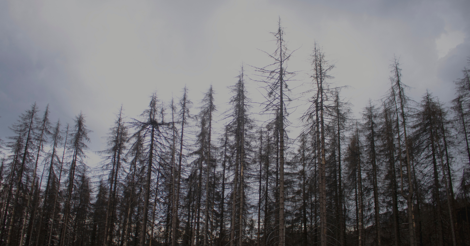
Along sections of the American east coast, entire clusters of trees have turned the hue of aged bone. Barren branches, devoid of leaves, with roots resting in brackish water, have been lifeless for years and are in no rush to collapse.
No one had ever taken the time to quantify them.
A machine has now accomplished this task. Henry Chi Hang Yeung, a doctoral student at the University of Virginia, developed the device with his supervisor, Xi Yang: a deep learning model designed to identify dead trees in aerial images of the coastline. The count returned over 10 million, dispersed from Maine down to South Carolina, with findings published in Nature Sustainability in December.
How to tally ten million dead trees
Yeung undertook the painstaking part manually. As reported by Science, he dedicated hundreds of hours to label more than 50,000 of them by hand, instructing the model on how a corpse appears from above: a light grey canopy and the irregular shadow cast by barren branches on the ground.
Resolution was crucial here. Previous surveys relied on Landsat satellite data with approximately 30 meters per pixel, which reduces a single dead pine to an indistinct blur. This map utilizes aerial photography with a resolution of better than one meter. When the team compared their findings to existing coarse-resolution maps of coastal forest loss, the overlap was minimal: most of their discoveries had not been recorded previously.
Yeung candidly admits that 10 million is likely an undercount. His approach overlooks trees that have already fallen, those concealed beneath a living canopy, and any with a narrow crown. Some of the deceased were also affected by insects or drought rather than seawater.
Salt arrives before the flood does
Trees absorb moisture through their roots by osmosis, which is effective only when the water around the root is less salty than the sap within. Introducing salt into the soil compromises this gradient. Consequently, a tree finds itself in water it can no longer utilize, ultimately dying of thirst despite having wet roots.
Yang informed VPM that the destruction comes from three angles simultaneously: salt infiltrating the soil and groundwater below, flooding at the surface, and sea spray pushed inland by storms.
The underground environment appears to be the most active of the three. Over 6 million of the deceased trees exist in forests below five meters in elevation, and the paper attributes this concentration primarily to salinization rather than flooding alone. Storm surges and droughts advance the salt line further inland, completing what the tide initiated.
The barriers that hold back the sea
One finding comes across almost humorously. Where roads and levees happen to be positioned between the water and the forest, the team estimated that forest loss decreased by 40 and 79 percent respectively, meaning rural America has inadvertently created a coastal defense network through embankments designed for pickup trucks.
Yeung and his co-authors are cautious about what this implies. Barriers temporarily hold the line while the water continues to rise beneath them.
What follows afterward
A dead forest does not remain bare for long. Salt marshes take over, with salt-tolerant grasses and shrubs occupying the ground vacated by the trees, which might seem like a fair exchange until someone examines the carbon balance.
Researchers at North Carolina State University monitored the transition along a specific stretch of the North Carolina coast and discovered that 15 percent of unmanaged public land in the study area, approximately 167 square kilometers, transitioned from coastal forest to ghost forest between 2001 and 2014. A paper published in Environmental Research Letters estimated the aboveground carbon loss at around 130,000 tonnes over those thirteen years. Lead author Lindsey Smart noted that people generally consider sea level rise as a long-term threat, while the landscape is subtly reorganizing itself over about a decade.
Marshes justify their existence. They mitigate storms, support fisheries, and sequester carbon in their sediments. However, they capture far less carbon above ground than the trees they replaced, resulting in a net loss for an extended period.
The delay that hasn’t been accounted for
Forests decline more slowly than the sea rises, a factor that proves to be extremely significant. Yinan Chen and Matt Kirwan (the latter at the Virginia Institute of Marine Science) analyzed mid-Atlantic forest retreat against local sea level records and published in Global Change Biology that land conversion is lagging decades behind the rising water.
Their conclusion has dual implications. Coastal ecosystems retain more resilience than the most dire projections suggest, and the full impacts of sea level rise already set in motion have yet to manifest.
Kirwan, who wasn’t involved in the mapping project, told Science that the die-off is not a forthcoming event. Ten million trunks support his assertion.
The interactive version of the map released alongside the study is available to the public, and it allows for zooming. Anyone can locate their segment of coastline, scroll in, and count the indicators where forested areas once existed.
Whether that is interpreted as