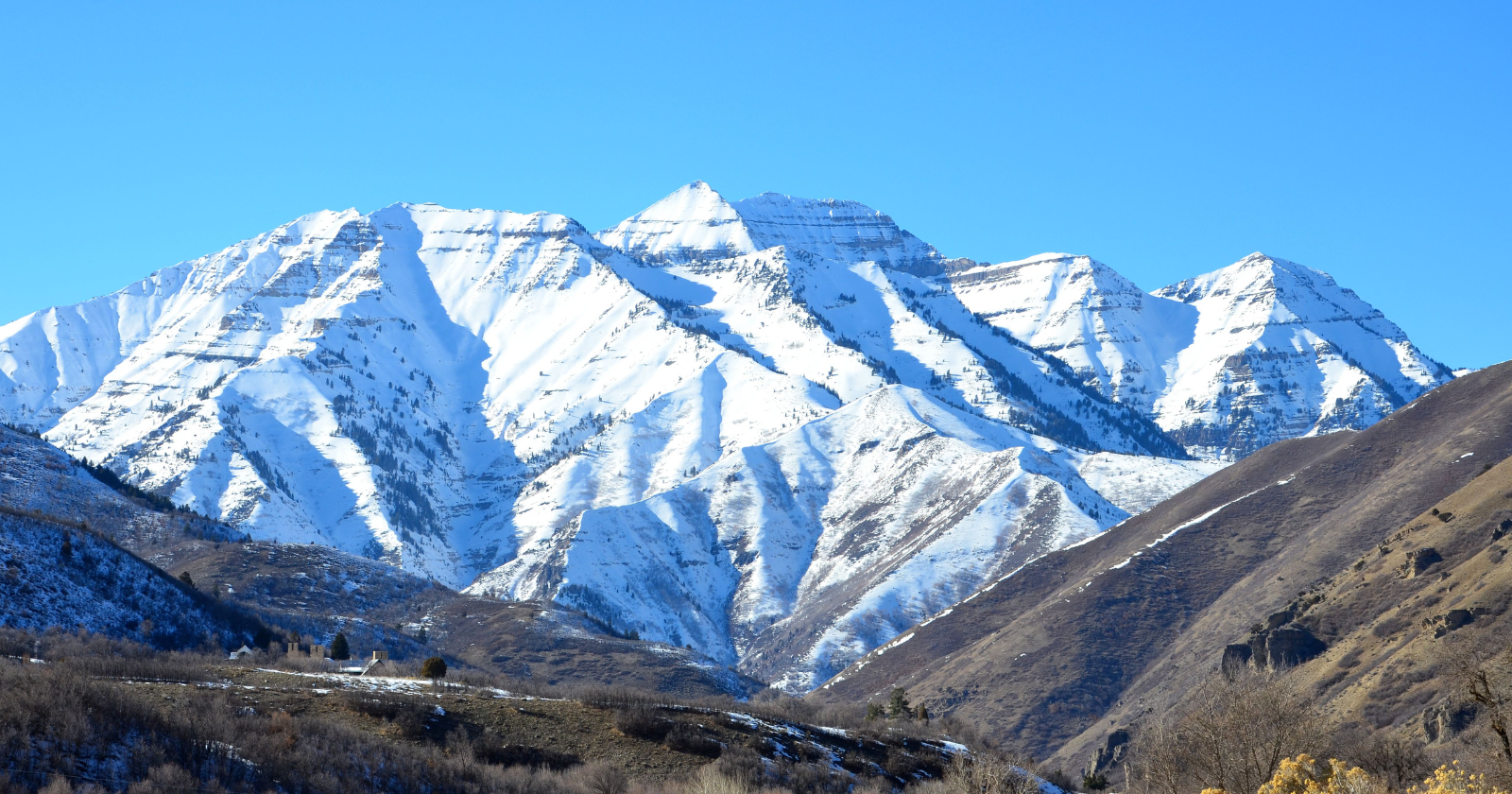
A field of loose debris beneath the peak of Mount Timpanogos conceals enough frozen water to fill 600 Olympic swimming pools. There are no visible signs on the surface. This estimate stems from University of Utah geologists who spent autumn 2024 ascending to a cirque, a bowl carved into the mountainside above Emerald Lake, to examine what lies beneath the rubble. The hike itself spans approximately eight kilometers and ascends about 1,100 meters.
Their findings, published in the Journal of Geophysical Research: Earth Surface, indicate the buried ice is between 30 to 45 meters thick (100 to 150 feet) in the center of the landform, with a total volume nearing 1.55 million cubic meters. Lead author Bronson Cvijanovich has likened this to the largest pyramid at Giza. The formation present is a rock glacier: ice under a cover of loose rock several meters deep, inching downhill at 8 to 20 centimeters annually.
How to measure unseen ice
Ground-penetrating radar, the usual instrument for assessing a glacier, does not work effectively here. The interspersed rock over and through the ice scatters the radio waves, degrading the image into interference. Therefore, the team instead measured gravity. Since rock is denser than ice, the gravitational pull beneath our feet is slightly weaker wherever the ice is thicker. Cvijanovich made six trips to the mountain equipped with a gravimeter, gathering data at 232 points on a grid roughly 25 meters apart. The complete dataset is reported in a survey from the Utah Geological Survey. The signal is so weak that the positions of the sun and moon had to be factored in, a detail covered by Nautilus. A statistical model then evaluated every conceivable configuration of buried ice against the measurements and retained the most likely shape, transforming 232 figures into a three-dimensional visualization.
What lies beneath the rocks
“Timpanogos Rock Glacier is unexpectedly ice-rich. It consists of 83% ice and 17% loose rock,” stated Cvijanovich in a statement from the University of Utah. The average thickness of the ice core was determined to be 18.8 meters, considerably less than the 150-foot maximum located along the centerline. Glaciology professor Leif Anderson emphasized a similar point for anyone who has traversed a talus slope without concern, explaining to ABC4 that hikers seldom suspect that another 120 feet of ice resides below them.
The source of the ice
How does a mass of ice persist beneath a rock pile in one of the driest states in the U.S.? A related paper in Geophysical Research Letters, led by Isaiah Davies, explores this process. Snow accumulates in the cirque, rock breaks off the steep headwall above and covers it, with buried snow melting at a much slower rate than exposed snow. In favorable years (heavy snowfall, a cool summer, ample rockfall), the pile increases in mass in increments. Over thousands of years, those increments compact into glacier ice. This paper also revises the narrative of origin. These are not remnants from the ice age left behind from a peak 21,000 to 18,000 years ago, but younger water reserves formed long after the large glaciers had receded.
The reservoir query
Utah contains 836 identified rock glaciers, tallied from satellite imagery and reported by Utah News Dispatch. Only one has been measured accurately. In arid regions, alpine ice acts as a buffer against drought, releasing water into streams once the usual snowpack depletes. By utilizing the area-to-volume relationship determined at Timpanogos along with published data from ten other rock glaciers, the researchers extrapolated their estimates: approximately one gigaton of water in Utah, nearly 12 gigatons across the western United States, and about 48 gigatons in the world’s intact rock glaciers.
These global estimates rely on detailed imagery of one landform and the extrapolation of fifty thousand others from space. Cvijanovich has since described the rock cover itself as protective camouflage, referring to these locations as climate-resilient water reserves that may still be accumulating ice, according to Newswise. However, there is a risk accompanying this benefit. The original paper notes that a rock glacier poses a threat to the residents below once it destabilizes. KSL reported that this glacier also presents a potential flood risk, even as its slowly melting ice aids Utah’s dry climate. Anderson’s team discovered that in some years, the entire rock glacier appears as bare rubble, while in other, less common years, rock-covered snow endures into September. The ice continues to accumulate but has become more selective about which years it chooses to form.